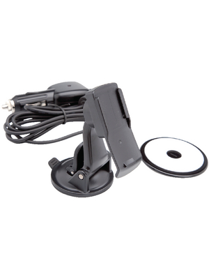
110-56-622,GPS GPSmap 62stc, 010-00868-22, Garmin
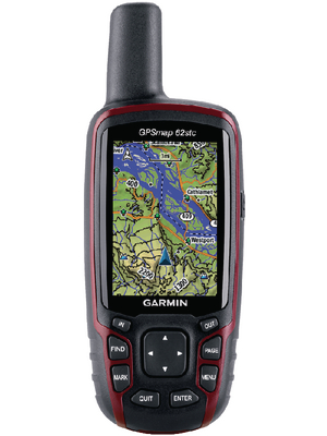
| Application | Outdoor |
| Resolution | 160 x 240 |
| Operation | Button |
| Screen / display in inches | 2.6 " |
| Pre-installed maps | Topographical map of Europe 1:100000 |
| Battery Operating Time | ≤20 h |
| Measurement of heart rate | No |
| Altimeter | Yes |
| Map view | 2D |
| Compass | Yes |
| Route | 200 |
| Track recording | 10000 points, 200 saved tracks |
| Waypoints | 2000 |
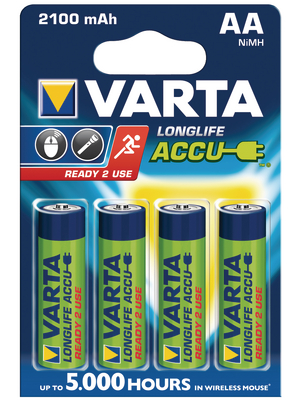
| Batteries | 2 x AA/LR06 |
| Display / size in cm | 6.6 cm |
| Internal memory | 3.5 GB |
| Memory expansion | microSD |
| Weight | 260 g |
| Special feature | Quadrifilar helix antenna, hunting, fishing, solar and lunar calendar, tide tables, area calculation |
| Width | 61 mm |
| Height | 160 mm |
| Depth | 36 mm |
| Dimensions W x H x D | 61 x 160 x 36 mm |